Aerial Event Photography.
From pre-event planning to promotion, the best perspective is often from above. At S3K, our in house drone operators can provide high definition aerial photography, video, and surveying services that bring clarity, insight, and visual impact.
View Your Event from Every Angle
We’re not just technically skilled, as experts in live events, we have deep knowledge of how to work safely, efficiently, and creatively in complex, fast-moving environments. Whether you're scoping a new site for a possible future event, making plans for an event before designing the layout and position of zones and access points or documenting build progress for stakeholders, we provide tailored aerial packages to suit your needs.
CAA Approved
All drone activity is carried out by licensed and insured professionals, fully compliant with UK aviation laws and safety standards. We work closely with site managers and authorities to ensure all permissions and protocols are in place.

Pre-Event Site Surveys
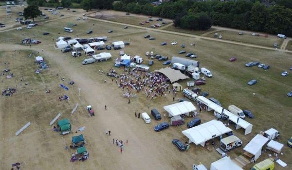
Before your event even begins, we help you plan smarter. Our drone mapping and topographical scans give you detailed, accurate views of your site to support layout planning, access routes, infrastructure placement, and contingency strategies. It’s a powerful tool for identifying challenges before they arise. An important part of the planning process.

Real-Time Site Monitoring
During the build and live phases, we can deploy drones to provide live or rapid turnaround footage for progress tracking, safety checks, and internal reporting. This helps you manage large or multi-zone sites more effectively and gives clients and partners real time visibility without having to be actually on the ground.

Aerial Photography & Video
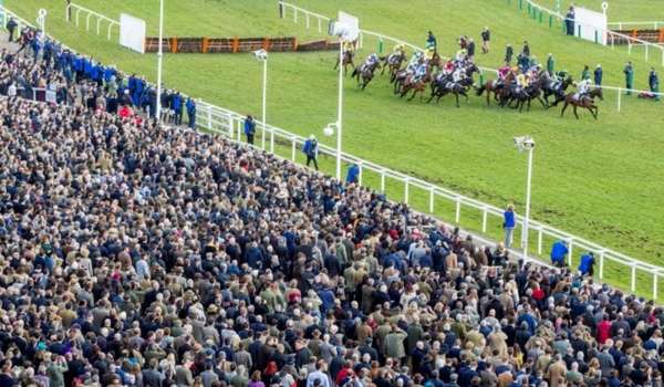
Capture your event in its best light. We provide professional, cinematic aerial visuals that showcase scale and design as well as action on the day. From sweeping overhead shots to dynamic flyovers, this type of content is ideal for promotional use, press, and stakeholder reporting.

Post-Event Documentation
Once the event is over, our aerial footage and survey data support clear, comprehensive debriefs. We can provide assets for impact reports, sustainability tracking, and future planning.
Need a better view of your site?
Get in touch for a tailored drone package.

